
Start with the parcel record and its limits
Pima County's regional parcel layer displays tax parcels, common areas, and private roadway parcels. Its metadata also documents qualifications, including multipart parcels, roadway voids, address relationships, attribute timing, and the fact that mapped values are not a substitute for a survey.
Use the parcel number and mapped shape to organize the review. Confirm the legal description and title material. If boundaries, area, encroachments, or improvement locations matter to the decision, ask a licensed surveyor for the appropriate work.
Subtract the constraints before planning the operation
Base zoning, overlays, setbacks, easements, washes, erosion areas, riparian areas, septic components, utility corridors, slopes, and existing structures can shape the space available for a barn, turnout, arena, trailer route, or storage. The shape and placement of those constraints can matter more than the gross acreage figure.
Create one working exhibit with the parcel, visible improvements, and every known constraint. Label each item by evidence type. Do not draw a conclusion where the record only creates a question.
- Official record: parcel layer, jurisdiction, base zoning, permits, plats, and mapped hazards.
- Seller statement: boundaries used in practice, facility history, maintenance, and operating routine.
- Field observation: slope, footing, gates, fencing, structures, utilities, washes, and circulation.
- Unverified question: legal boundary, permitted use, buildable or usable area, condition, capacity, safety, and future improvement feasibility.
Run the daily route
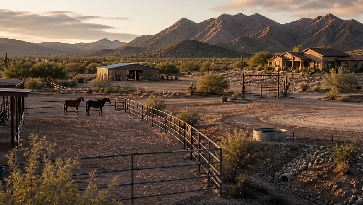
Test the property as a sequence. Enter with the tow vehicle and trailer. Open and close the gate. Find the loading and turnaround area. Trace feed delivery, water points, turnout, tack storage, manure handling, arena access, parking, and emergency movement. Measure what matters, but treat informal measurements as planning notes until the right professional confirms them.
Observe fence type and condition, gate placement, shade, shelter, drainage, footing, power, lighting, and water points. Ask buyer selected equine professionals and qualified contractors to assess the layout and improvements for the buyer's animals and intended use.
Price the unanswered work before calling it a fit
A missing arena, narrow gate, drainage repair, new fence, water extension, electrical work, or septic conflict can change cost and timing. Obtain current written estimates and ask the jurisdiction whether proposed work requires review or permits. Ask the lender, appraiser, and insurer how the property and proposed use fit their separate standards.
The goal is not a universal score. The goal is a buyer specific question plan. One buyer may need turnout and trailer circulation. Another may need no arena at all. Acreage becomes useful only after the intended operation is defined.
Test usable land is not the acreage number. against the actual parcel.
A listing label is not proof. Pair the record with field observation and qualified review.
- 01Read the recordCollect parcel, water, access, restriction, utility, and permit sources.
- 02Walk the operationObserve circulation, drainage, shade, fencing, facilities, and usable ground.
- 03Ask the specialistsSend each technical question to the responsible authority or qualified professional.
- 04Write the property planTie the findings to due diligence, timing, cost, and the intended horse use.
Reviewed current Pima County parcel and zoning layer metadata, Pima County floodplain permitting guidance, and the Arizona Department of Real Estate Buyer Advisory. The article uses those sources to frame a field review without calculating usable acreage.
LimitsThis guide does not determine boundaries, acreage, usable area, zoning, setbacks, easements, drainage, structure condition, improvement feasibility, animal safety, value, financing, or insurability. Use the responsible jurisdiction and qualified survey, title, engineering, inspection, contracting, appraisal, lending, insurance, legal, and equine professionals.
Explains parcel layer coverage, attributes, update timing, and known qualifications.
Zoning, All Jurisdictions metadataPima County Geographic Information SystemsIdentifies base zoning across jurisdictions and warns that overlay zones may also apply.
Floodplain use permitsPima County Regional Flood Control DistrictExplains permit responsibility for unincorporated Pima County and improvements within regulated areas.
Arizona Buyer AdvisoryArizona Department of Real EstateOrganizes documents, physical conditions, and surrounding area questions for buyers and directs buyers to qualified inspectors.