

Regional parcel layer
The County metadata documents nightly maintenance and important limits involving parcel geometry, address relationships, ownership attribute timing, and mapped values.
Open the official metadataNortheast Tucson · horse property authority
Long Realty CompanyLopez & Lopez, REALTORS®
Before the house wins you over.
Buy, sell, or coordinate both with one plan for land, use, water, access, facilities, the house, operating burden, and future resale.
Parcel questions stay questions until the responsible authority or qualified professional answers them.
Representative editorial media. It does not depict a current listing or availability.Representative Southern Arizona horse property with turnout, barn, gates, trailer access, drainage, home, and mountains
The parcel, permitted use, usable ground, water, access, drainage, structures, animal facilities, house, operating burden, and future resale all touch the same decision. Acreage alone does not answer it. A listing label does not answer it.
This publication gives every claim a lane. Official records stay official records. Seller statements stay seller statements. Field observations stay observations. Open questions stay open until the responsible authority or qualified professional answers them.
Define the operation first. The screen turns it into a useful question list. It does not declare a property suitable, permitted, safe, or ready.
Buyer plan · Private horse use · animal count open
This screen creates a question plan. It does not score the property or determine use, condition, capacity, safety, value, legal access, water, or insurability.
This issue checks the maintenance record and published limits of three County GIS layers used in an early parcel review. It is not an inventory, sales, price, or market trend report.
The County metadata documents nightly maintenance and important limits involving parcel geometry, address relationships, ownership attribute timing, and mapped values.
Open the official metadataThe layer reports base zoning. The County warns that overlay zones may add rules, so a map result still needs jurisdiction review for the intended use.
Open the official metadataThe maintained map shows permit application locations. It is a records lead, not proof that every improvement is permitted or outside regulated areas.
Open the official metadataRead the official metadata page for coverage, maintenance, and stated qualifications. Follow the source link for its current refresh information. No parcel was evaluated.
Refresh dates do not prove completeness or accuracy for one parcel. Maps screen the question. Authorities and qualified professionals finish it.
Current market figures will appear only when source, date, property type, coverage rule, and sample limits can be shown together.
The order keeps the house from becoming the answer before the land and operation have earned their place in the decision.
Jurisdiction, zoning, intended use, overlays, permits, private restrictions, and written follow up.
Recorded area, boundaries, slope, washes, easements, setbacks, septic, and room for the actual operation.
Service or well records, current testing, storage, distribution, septic records, and specialist questions.
Federal and local maps, erosion, riparian context, visible flow paths, crossings, permits, and qualified review.
Recorded access, road condition, trailer route, gates, loading, turnaround, delivery, and emergency movement.
Barn, stalls, shade, fencing, gates, turnout, arena, power, water, storage, manure plan, permits, and condition.
Normal home review plus additions, guest space, workshop, utilities, conversions, permits, and capacity.
The daily routine, nearby uses, dust, noise, service access, wildlife, wildfire, insurance, and open questions.
Immediate work, operating burden, appraisal and financing questions, insurability, buyer pool, and resale narrative.
These sources can organize the first pass. Each source has a stated scope and limits. None makes a complete horse property determination.
Explains parcel layer coverage, attributes, update timing, and known qualifications.
Open official sourcePima County Geographic Information SystemsIdentifies base zoning across jurisdictions and warns that overlay zones may also apply.
Open official sourceArizona Department of Water ResourcesProvides owner and driller supplied well registration information. ADWR states that registry data is not independently verified.
Open official sourcePima County Department of Environmental QualityStates the County process for qualified inspection, reporting, and transfer documents when an onsite system serves the property.
Open official sourcePima County Regional Flood Control DistrictExplains that local floodplains, erosion hazards, and riparian habitat can extend beyond FEMA mapping.
Open official sourceArizona Department of Real EstateOrganizes documents, physical conditions, and surrounding area questions for buyers and directs buyers to qualified inspectors.
Open official source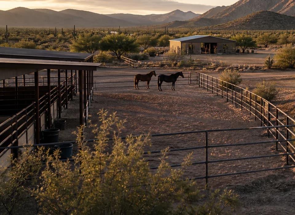 Representative editorial media. Not a current listing.
A parcel specific way to organize zoning, animal use, overlays, private restrictions, permits, and unanswered questions before relying on a horse property label.
Read the guide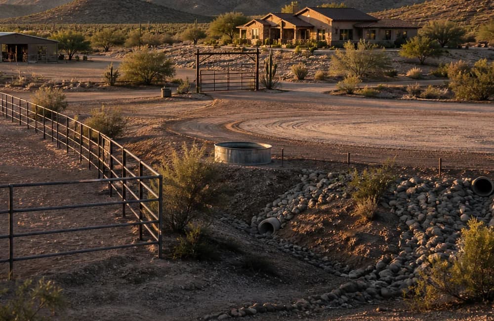 Representative editorial media. Not a current listing.
How to organize ADWR well records, seller documents, contractor testing, water quality questions, and septic records for a horse property decision.
Read the guide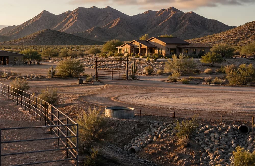 Representative editorial media. Not a current listing.
A source led sequence for FEMA and local flood information, washes, erosion, permits, crossings, trailer circulation, and emergency access.
Read the guide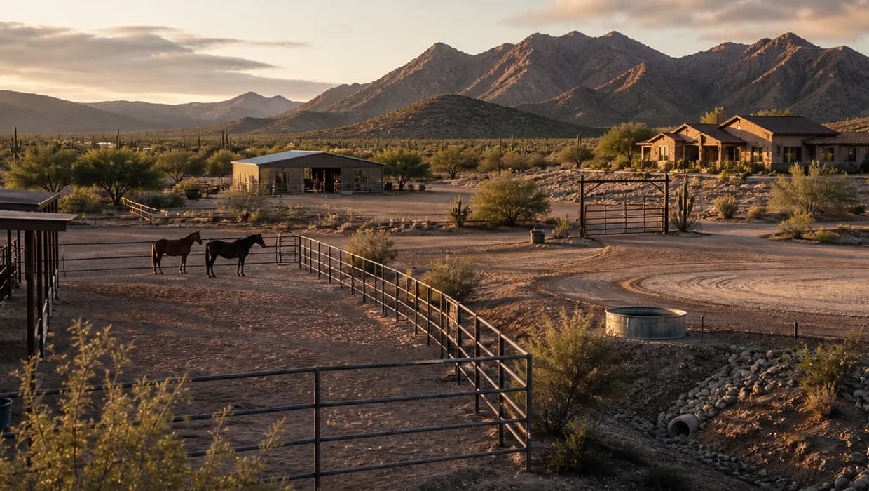 Representative editorial media. Not a current listing.
How to move from a recorded acreage figure to questions about parcel shape, setbacks, washes, easements, slope, facilities, circulation, and the buyer's operation.
Read the guideThe Horse Property Decision Session turns your move, horse use, property, facilities, timing, and known concerns into a practical question and evidence plan.
Plan my horse property moveHorse property representation at Long Realty Company.