
Use both federal and local flood information
Pima County Regional Flood Control tells real estate professionals that local floodplains, erosion hazards, and riparian habitat cover more area than FEMA mapped floodplains. The practical first pass is not one map. It is the FEMA layer, County local flood information, erosion and riparian context, and available permit records.
Confirm the regulating jurisdiction before asking a permit question. The County issues floodplain use permits in unincorporated Pima County. Incorporated jurisdictions handle their own floodplain permitting. The property address alone may not make that division obvious.
Walk the movement system
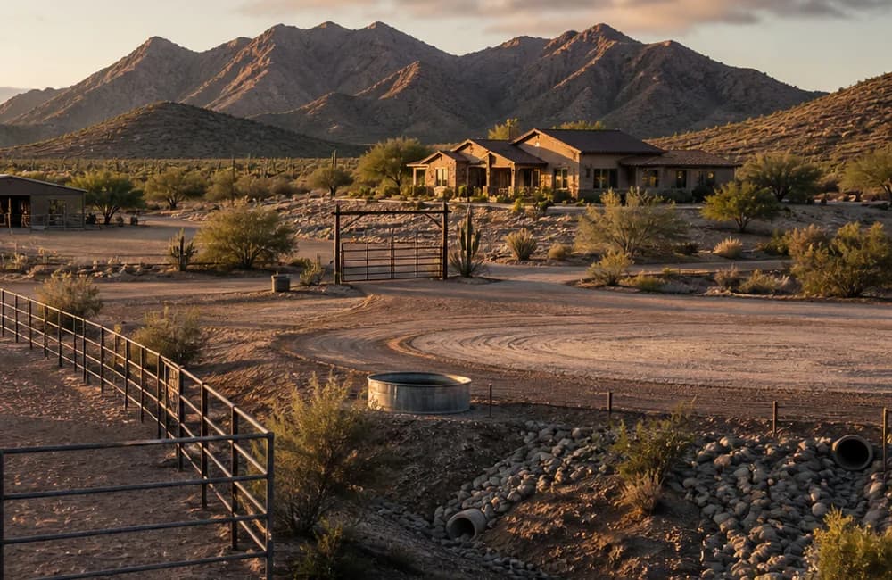
Horse property access is more than a driveway. Trace the route from the public road to the gate, trailer loading area, turnaround, barn, arena, manure service point, and emergency access. Note visible washes, low crossings, culverts, erosion, deposits, fence lines, gates, slopes, and places where water appears to concentrate.
A dry visit records dry conditions. It does not predict a storm. Ask the seller about observed water movement and access interruptions, then keep that answer in the seller statement lane until official records and qualified field work address it.
- Official record: mapped flood information, permit records, jurisdiction, and recorded access documents.
- Seller statement: past water movement, maintenance, road interruptions, and repairs.
- Field observation: washes, erosion, culverts, deposits, slopes, crossings, and route dimensions.
- Unverified question: flood elevation, drainage behavior, erosion risk, legal access, route sufficiency, emergency access, and insurability.
Treat improvements as possible flow changes
A wall, fence, arena pad, barn, shade structure, driveway, culvert, grading project, or septic component may interact with drainage. Pima County says virtually all structures or improvements in regulatory floodplains or erosion hazard areas require a floodplain use permit before construction, subject to the applicable rules and exemptions.
Pull available permit records and compare them with visible improvements. Do not infer compliance from age, appearance, or a neighboring property. Ask the jurisdiction and qualified engineer, surveyor, or contractor what additional review is appropriate.
Separate access documents from access observations
A route can exist on the ground without answering who has the right to use it or who must maintain it. Obtain title material, plats, easements, and road agreements. Ask a title professional, licensed surveyor, and qualified attorney to address recorded and legal access.
Then ask an insurer and lender about their requirements using accurate property and use details. A mapped zone, permit, dry crossing, or listing claim does not prove access is legal, sufficient, safe in weather, acceptable to a lender, or insurable.
Test the map is a screen. the wash is a field question. against the actual parcel.
A listing label is not proof. Pair the record with field observation and qualified review.
- 01Read the recordCollect parcel, water, access, restriction, utility, and permit sources.
- 02Walk the operationObserve circulation, drainage, shade, fencing, facilities, and usable ground.
- 03Ask the specialistsSend each technical question to the responsible authority or qualified professional.
- 04Write the property planTie the findings to due diligence, timing, cost, and the intended horse use.
Reviewed current Pima County Regional Flood Control resources for real estate professionals and permitting, the County Floodplain Use Permit GIS metadata, and the Arizona Department of Real Estate Buyer Advisory. The sequence combines official screening with field and specialist questions.
LimitsThis guide is not a flood determination, elevation certificate, drainage study, engineering report, survey, title opinion, access opinion, safety finding, permit determination, or insurance decision. Maps and field observations have limits. Use the responsible jurisdiction and qualified professionals for the parcel.
Explains that local floodplains, erosion hazards, and riparian habitat can extend beyond FEMA mapping.
Floodplain use permitsPima County Regional Flood Control DistrictExplains permit responsibility for unincorporated Pima County and improvements within regulated areas.
Floodplain Use Permit layer metadataPima County Geographic Information SystemsDescribes the mapped locations of Flood Control permit applications and the layer maintenance record.
Arizona Buyer AdvisoryArizona Department of Real EstateOrganizes documents, physical conditions, and surrounding area questions for buyers and directs buyers to qualified inspectors.