
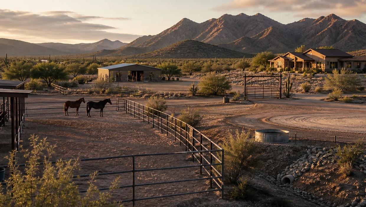
Why isn't the acreage the usable land?
Pima County's regional parcel layer displays tax parcels, common areas and private roadway parcels, and its own notes list known qualifications, like parcels drawn as more than one polygon and ownership fields that may lag behind new line work. So a 3.3 acre figure tells you the size of the tax parcel. It does not tell you where the barn can go, where the trailer can turn around, or how much flat, dry ground is left for horses.
Confirm the legal description with the title company. If the boundary or where an improvement sits matters to your decision, hire a licensed surveyor.
What takes away usable ground in 85749?
Make one working map of the parcel and mark each of these on it.
- Setbacks from the zoning on the parcel, which control how close barns, arenas and covered structures can sit to the lines. The county's zoning layer shows base zoning only, and it notes that overlay zones can also apply.
- Washes and floodplain. Pima County's Regional Flood Control District says local floodplains, erosion hazards and riparian habitat cover larger areas of the county than FEMA mapped floodplains.
- Easements for driveways, utilities and drainage that cross the lot.
- Slope and rock, which change what is practical for an arena or turnout.
- Septic and well, which need their own space.
- What is already built, like the house, casita, pool, barn and fencing.
How do I check it before I buy?
Work through it in this order, and keep the answers on one sheet next to the price.
- Pull the parcel record and the recorded plat, and confirm the legal description with the title company.
- Confirm both the FEMA and local floodplain status of the parcel with Pima County's Regional Flood Control District.
- Check the base zoning and any overlays, and ask the county what it allows for animals and accessory structures on that parcel.
- Walk the land with the plan you actually have: number of horses, turnout, arena, trailer route and storage.
- If the boundary or where improvements sit matters to your decision, hire a licensed surveyor.
I'm selling. How do I show buyers the usable land?
Lead with it. Buyers shopping horse property in 85749 ask about the arena, turnout and trailer access early. Have the plat, any survey, the septic records and permits for the barn or arena ready, and mark the flat usable area on a simple site map. A buyer who can see it early writes a cleaner offer.
Floodplain use permits in unincorporated Pima County come from the Regional Flood Control District, and properties inside the City of Tucson or a town go through that jurisdiction's floodplain office. Know which one covers your parcel before a buyer asks.
Want us to map the usable ground on a property?
Send the address or the listing through the property review on https://85749.net/ or call (520) 462-6023. We will pull the records and walk it with your plan in mind. Long Realty Company and Lopez & Lopez, REALTORS®.
Questions buyers and sellers ask
Is the listing acreage wrong?
Usually not. It is the size of the tax parcel, not the usable ground.
Can I build an arena in a wash?
Often not without limits. Confirm the FEMA and local floodplain status and ask whether a floodplain use permit applies before you plan anything.
Do I need a survey?
If the boundary, the fence lines or where a structure sits matters to your decision, yes. A parcel map is a tax map, not a survey.
Test this guide against the actual parcel.
A listing label is not proof. Pair the record with field observation and qualified review.
- 01Read the recordCollect parcel, water, access, restriction, utility, and permit sources.
- 02Walk the operationObserve circulation, drainage, shade, fencing, facilities, and usable ground.
- 03Ask the specialistsSend each technical question to the responsible authority or qualified professional.
- 04Write the property planTie the findings to due diligence, timing, cost, and the intended horse use.
Reviewed live on November 10, 2026: Pima County's regional parcel and all jurisdiction zoning layer metadata, the Regional Flood Control District's real estate floodplain resources and floodplain permit pages, and the Arizona Department of Real Estate Buyer Advisory. The guide uses those sources to frame a field review without calculating usable acreage.
LimitsThis guide does not determine boundaries, acreage, usable area, zoning, setbacks, easements, drainage, floodplain status, structure condition, improvement feasibility, animal safety, value, financing or insurability. Use the responsible jurisdiction and qualified survey, title, engineering, inspection, contracting, appraisal, lending, insurance, legal and equine professionals.
Explains parcel layer coverage, attributes, update timing, and known qualifications.
Zoning, All Jurisdictions metadataPima County Geographic Information SystemsIdentifies base zoning across jurisdictions and warns that overlay zones may also apply.
Floodplain resources for real estate professionalsPima County Regional Flood Control DistrictExplains that local floodplains, erosion hazards, and riparian habitat can extend beyond FEMA mapping.
Floodplain use permitsPima County Regional Flood Control DistrictExplains permit responsibility for unincorporated Pima County and improvements within regulated areas.
Arizona Buyer AdvisoryArizona Department of Real EstateOrganizes documents, physical conditions, and surrounding area questions for buyers and directs buyers to qualified inspectors.